
|
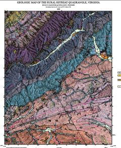
Informe de archivo abierto 2026-19: Mapa geológico del cuadrángulo de Rural Retreat, Virginia, escala 1:24,000
|
|
|
Su precio: $0.00
Número de modelo: 3119
|
By H.E. Mangum, W.R. Swanger, and M.J. Heller, 28 x 55-inch color 1:24,000-scale geologic map, 2026. This map of the Rural Retreat 7.5-minute quadrangle in Bland, Smyth, and Wythe counties in southwest Virginia contains sedimentary rocks, fault rocks, and surficial deposits found in the Valley and Ridge province and within the Max Meadows, Pulaski, and Saltville thrust sheets of Virginia. Online only.
|
|
|
|